30 ACRES INTERSTATE 80 FRONTAGE LAND
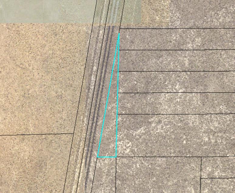
29.68 acres of raw land ready for development. Location fronting Interstate 80 in the area of Oreana/Lovelock, in Pershing County.
Zoned AMR (agriculture-mining-recreation), which allows a wide variety of potential uses including home construction and various commercial/industrial uses.
Located on Interstate 80 just outside of Lovelock, near the Oreana freeway interchange. Access is from the freeway interchange, via Lovelock-Unionville Road and the old U.S. Route 40 right of way. This is an excellent opportunity for freeway facing development, low cost large acreage for a homesite, maybe a cell tower, or something else your imagination fancies. Or, invest and hold for the long term; as population levels increase this freeway frontage property may become very valuable.
Oreana is located about 1.5 hours east of Reno, 10 minutes east of Lovelock, 45 minutes west of Winnemucca, and 2.5 hours west of Elko, all of which lie along Interstate 80. The Oreana interchange serves one of the County’s largest employers, the Coeur Rochester mine. From the Oreana interchange, Lovelock-Unionville Road heads east past the mine, over the mountains (lots of adventure to be found in these mountains), and into the beautiful Buena Vista Valley with its scattered farms, homes, and the picturesque village of Unionville. The residential neighborhoods of Oreana, Rocky Canyon, Rye Patch, etc are also accessed from this interchange.
Property to be sold as-is, where-is. Fenced along west boundary. Buyer to conduct their own due diligence with regards to development possibilities, utilities, etc to ensure property meets Buyer’s needs.
Pershing County APN 011-050-02
Directions: Property fronts Interstate 80 near mile marker 120. There is a for sale sign on the property. The property corners are marked with tall white PVC pipes flying blue survey tape at the top. See attached images and maps to assist you in identifying the property. There is no official street address yet for the property, so please use the GPS coordinates or the provided map link to locate the property; an official street address will be assigned by the County at the time of building on the property.
GPS 40.357086, -118.307001
What3Words ///challenger.exiled.riverside