10.44 Acres Unspoiled Desert Land with Views
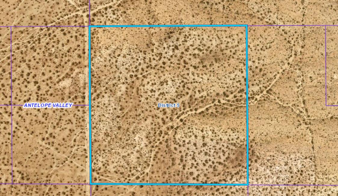
10.44 acres zoned A-2 (Heavy Agriculture, allows single family residence as well). Located at Avenue B10 and 242nd Street East, in the area of Hi Vista, CA 93535. The land consists primarily of gently to moderately sloped topography, with some flat areas. Broad views to the south from the more elevated areas along the north of the property. Road along west edge of property runs between Ave B to the north and Ave C to the south (and beyond). This is the far northeast corner of Los Angeles County, near the San Bernardino County Line and Edwards Airforce Base. This is a mostly undeveloped area currently. Given the torrid growth of both Los Angeles County and San Bernardino County, including growing demand for land for agriculture and solar projects among other things, chances are demand for this land will increase significantly over time.
APN 3326-005-026
Directions: From Lancaster, head east to the intersection of 200th Street East and Avenue G. From this intersection, there are various ways to get to the property and this is my preferred route (it helps to use your odometer for guidance due to inconsistent street name signage in the area). Begin at 200th Street East and Avenue G. Head north on 200th Street East 4 miles, then turn right on Avenue C. Take Avenue C east for 4.2 miles to 242nd Street East, then turn left on 242nd Street East. Take 242nd Street East north approximately 0.25 miles, at which point you will arrive at the southwest property corner. From its southwest corner the property extends approximately 660′ to the north and approximately 660′ to the east. A for sale sign is posted on the property. Please note this property may also be reached via 242nd St E southward from Ave B.
GPS 34.797495, -117.697394
What3Words ///press.combo.yielding